Course Features
- Lectures 27
- Quizzes 0
- Duration Lifetime access
- Skill level All levels
- Language English
- Students 96
- Assessments Yes


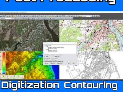
In Drone LIDAR (Light Detection and Ranging) Training You will Learn 1. Understanding LiDAR: Ensure a thorough understanding of LiDAR technology, its principles, and...


Not a member yet? Register now
Are you a member? Login now