In Drone LIDAR (Light Detection and Ranging) Training You will Learn
1. Understanding LiDAR: Ensure a thorough understanding of LiDAR technology, its principles, and its applications. LiDAR uses laser pulses to measure distances to objects, generating precise 3D models of the environment.
2. Drone Selection: Choose a suitable drone platform for LiDAR integration. Consider factors such as payload capacity, flight time, stability, and compatibility with LiDAR sensors.
3. LiDAR Sensor Selection: Select a LiDAR sensor appropriate for your application. Consider factors such as range, accuracy, point density, and cost. Popular LiDAR sensors for drones include Velodyne, Livox, and Quanergy.
4.Software Setup: Install and configure software for data acquisition and processing. This includes software for controlling the drone, capturing LiDAR data, and processing the collected point cloud data.
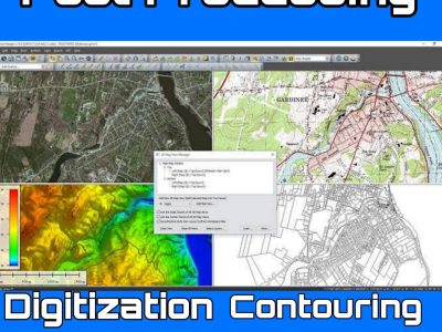
5. Data Processing Process the collected LiDAR data to generate 3D point cloud models of the surveyed area. This may involve filtering, registration, classification, and visualization of the point cloud data.
6. Analysis and Interpretation: Analyze the processed data to extract meaningful information relevant to your application. This could include terrain mapping, infrastructure inspection, vegetation analysis, or any other use case.
Course Features
- Lectures 15
- Quizzes 0
- Duration 5 hours
- Skill level All levels
- Language English
- Students 13
- Assessments Yes


