Course Features
- Lectures 10
- Quizzes 0
- Duration Lifetime access
- Skill level All levels
- Language English
- Students 1
- Assessments Yes

Welcome hai aapka WebODM Drone Data Processing Course me — ek complete aur practical course jo aapko drone imagery processing ke basics se lekar advanced level ke outputs jaise orthomosaic maps, 3D models, point clouds aur DEM generation tak le jaayega.
Chahe aap student ho, drone pilot, GIS professional ya surveyor, ye course aapko real-world projects me WebODM ko professional level par use karna sikhaayega aur drone mapping data ko efficiently process karke high-quality results nikalne me madad karega.
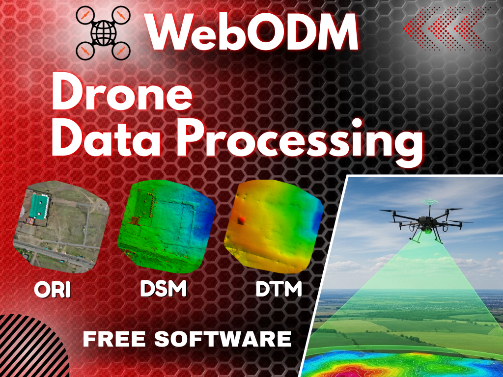
Orthomosaic Map – High-resolution, geo-referenced 2D map jo survey aur analysis ke kaam aata hai.
Digital Elevation Model (DEM) – Ground surface ka elevation data (DSM & DTM dono generate ho sakte hain).
3D Model (Textured Mesh) – Drone imagery se bana ek realistic 3D model.
Point Cloud – Millions of 3D points ka dataset jo terrain aur features ka accurate representation deta hai.
Contour Lines – Elevation ke basis par generated lines jo topography samajhne me help karti hain.
Plant Health Maps (NDVI etc.) – Multispectral ya modified camera images se vegetation health analysis.
Volume Calculation Reports – Stockpile, mines, ya earthwork ka accurate volume measurement.
WebODM Drone Data Processing ek powerful open-source platform hai jo drone imagery ko process karke high quality maps, 3D models aur elevation data banata hai. Is course me aapko step by step sikhaya jaega ki kaise drone se liye gaye photos ko WebODM me upload kare, unhe process kare aur final output jaise orthomosaic map, point cloud, DEM aur 3D textured model generate kare. Ye course beginners aur professionals dono ke liye useful hai, kyunki isme basic setup se lekar advanced processing options tak sab cover kiya gaya hai. Agar aap drone mapping field me career banana chahte ho ya apne projects ke liye khud data process karna chahte ho, to ye course aapke liye best hai.
Doubt-clearing sessions are available only on Saturdays.
Each student can schedule up to 2 calls for doubt resolution.
If you wish to book a doubt-clearing session on any other day, an additional fee of ₹500 will be applicable.
Welcome hai aapka Drone Video Animated Marking in After Effects Course me — ek complete aur practical course jo aapko drone footage ko professional...
Welcome to the Fixed-Wing Drone Design Course, a complete guide that takes you from the fundamentals of aerodynamics to building a fully functional UAV....
In This Video Series, You will learn how to make an FPV drone Starting from Part selection to Flying A 5-inch FPV drone is...
coming Soon
Not a member yet? Register now
Are you a member? Login now