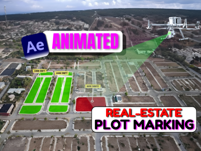
Welcome hai aapka Post Processing of Drone Data Course me — ek complete aur practical training jo aapko drone imagery se liye gaye survey data ko digitize, analyze aur present karna sikhayega.
🚀 Course me aap step by step seekhenge:
-
Digitization of Drone Data – Drone-based orthomosaic aur survey maps ko digitize karna (roads, buildings, utilities, land parcels, ROW, etc.).
-
Contour Generation – Accurate elevation data se contour lines banana aur topography samajhna.
-
Thematic Layers – Roads, utilities, boundaries, aur other features ke alag-alag layers prepare karna.
-
Volume & Area Calculations – Earthwork, stockpile, aur excavation ke precise measurements nikalna.
-
Map Printing & Layout – Final survey outputs ko professional map format me convert karna, legends, scale aur north arrow ke sath.
-
Reporting for Clients – Digitized maps aur contour outputs ko print-ready aur digital formats me deliver karna.
⚙️ Ye course specially design kiya gaya hai surveyors, drone pilots, GIS professionals aur civil engineers ke liye jo apne drone data ko raw images se professional survey outputs me convert karna chahte hain.
👉 Agar aap drone mapping field me apna skillset upgrade karna chahte ho aur apne clients ke liye high-quality deliverables (digitized maps, contour sheets aur printed survey layouts) create karna chahte ho, to ye course aapke liye perfect hai.
Note:
Doubt-clearing sessions are available only on Saturdays.
Each student can schedule up to 2 calls for doubt resolution.
If you wish to book a doubt-clearing session on any other day, an additional fee of ₹500 will be applicable.
Course Features
- Lectures 18
- Quizzes 0
- Duration Lifetime access
- Skill level All levels
- Language Hindi
- Students 21
- Assessments Yes


