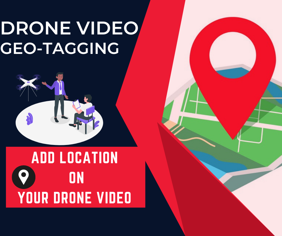
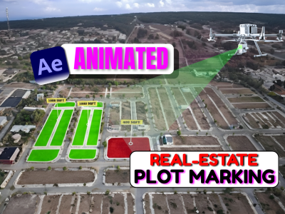
Welcome hai aapka NHAI & Railway Drone Video Geotagging and Annotation Course me — ek specialized aur practical training jo aapko drone video data ko geotag karke professional-level annotations add karna sikhayega.
🚀 Course me aap step by step seekhenge:
-
Drone Video Geotagging Basics – GPS coordinate ke sath videos ko synchronize karna.
-
Chainage Numbering – Drone video par accurate chainage numbers overlay karna jo highway aur railway survey ke liye essential hai.
-
Callouts & Annotations – Important structures, utilities, aur site features highlight karne ke liye callouts lagana.
-
ROW (Right of Way) Marking – Project ke liye required ROW boundary ko drone video me clearly mark karna.
-
Center Line Mapping – Highway ya railway ke alignment ke liye center line mark karna aur usse chainage ke sath sync karna.
⚙️ Ye course specially design kiya gaya hai surveyors, drone pilots, GIS professionals, aur infrastructure engineers ke liye jo NHAI aur Railway projects me kaam karte hain. Isme aapko real-world use cases ke through practical training milegi jo directly aapke projects me implement ho sakti hai.
👉 Agar aap infrastructure mapping aur monitoring me apna career strong banana chahte ho ya NHAI & Railway projects ke liye high-quality deliverables create karna chahte ho, to ye course aapke liye perfect hai.
Note:
Doubt-clearing sessions are available only on Saturdays.
Each student can schedule up to 2 calls for doubt resolution.
If you wish to book a doubt-clearing session on any other day, an additional fee of ₹500 will be applicable.
Course Features
- Lectures 24
- Quizzes 0
- Duration Lifetime access
- Skill level All levels
- Language Hindi
- Students 107
- Assessments Yes


